The St. Marys River: A Paddler's Guide
A winding blackwater river that draws the line between two states. The St. Marys carries tannin-dark water past bright sandbars from the edge of the Okefenokee to the Atlantic.
The St. Marys is a blackwater river that forms much of the Georgia-Florida line. It rises near the Okefenokee Swamp and winds east to the Atlantic near the town of St. Marys. Expect white sandbars for camping, tannin-stained water, redbreast and catfish fishing, and tidal lower reaches near the coast. Public access comes from landings such as Trader's Hill and various bridges. Spring and fall bring the best conditions; always check water levels and confirm access before you go.
Where it is
The St. Marys River rises near the Okefenokee Swamp and traces much of the border between Georgia and Florida on its way to the Atlantic. It ends near the town of St. Marys, Georgia, across from Florida and close to the coast. For most of its length it is a classic lowland blackwater river: slow gradient, sandy bottom, tannin-dark water, and banks lined with cypress, live oak, and gum.
Like other rivers in this region, the St. Marys winds constantly, so straight-line map distance and actual paddling distance differ significantly. As the river nears the coast it becomes tidal, which changes how the water moves. Plan by river miles and time on the water, and account for the tide on the lower reaches rather than assuming a steady downstream push the whole way.
Access and put-ins
Public access to the St. Marys comes mainly from established landings and bridge crossings along its length. Trader's Hill is one well-known access area, and various bridges provide additional launch and take-out points. Many trips are run as point-to-point paddles between two landings, which means arranging a vehicle shuttle.
Because much of the land bordering the river is private, treat put-ins and take-outs as the places to get on and off, and be mindful of property lines in between. Ramp names, conditions, and parking change over time. Confirm the specific landings you plan to use, their current condition, and shuttle logistics before your trip. Local outfitters and county recreation departments on both the Georgia and Florida sides are good sources for up-to-date access information.
Best time to paddle and water levels
What water level do you need to paddle the St. Marys?
Spring and fall are the sweet spots on the St. Marys. Temperatures are mild, the bugs are lighter than in midsummer, and moderate flows keep the white sandbars exposed for camping while still giving you enough water to move comfortably.
Water level drives everything on the upper and middle river. In low water, more sandy shoals and deadfall are exposed, which means more dragging and occasional portages. After heavy rain the river comes up fast, moves quicker, and can submerge the sandbars you were counting on for camp while pushing debris into strainers. On the tidal lower reaches, the tide adds another variable on top of river flow. Check the nearest USGS or state river gauge, and the tide tables for the lower sections, before you launch, and match your plan to what the water is actually doing that week.
Alligators and safety
The St. Marys runs through classic Georgia and Florida gator country, and alligators are a normal part of the ecosystem here. Most encounters are undramatic: a gator sliding off a warm bank into the water as you round a bend. Give them room, never feed or approach them, and keep pets and food secured in camp. Avoid swimming at dawn, dusk, and after dark, when alligators are most active.
The bigger day-to-day hazards are usually strainers, deadfall, and, on the lower river, tides and wind. Downed trees can span the channel on tight bends, and the current can push a boat into them, so scout blind corners and be ready to portage. On the tidal reaches, a turning tide can work against you, so time your paddling with it. Keep a knife accessible, wear your PFD, and never pin yourself against a strainer. Carry more water than you think you need, tell someone your route and timeline, and plan for limited cell service.
Permits and rules
Rules on the St. Marys depend on who owns and manages the land at any given spot, and the river straddles two states, so regulations can differ from one bank to the other. Paddling the river itself is generally open, but camping is a different matter: many inviting sandbars sit directly against private property, and what is legal to camp on varies from tract to tract.
Before you commit to a camp, confirm current regulations with the managing agency or landowner, respect posted signs, and never assume a sandbar is open just because it looks empty. A fishing license is required for anglers, and because the river borders Georgia and Florida, check which state's rules apply where you are fishing. Above all, practice Leave No Trace: pack out everything, use existing sites, and leave the sandbars cleaner than you found them so access stays open for the next paddler.
Our trips on the St. Marys
We have documented our own runs on the St. Marys. Watch the expeditions to see the real conditions: the bends, the deadfall, the white sandbar camps, and the water as it actually is.
Field notes from the St. Marys
Every trip we have filmed on this river, written up: what the water was doing, where we camped, and what we would do differently.
- A Blue Cat Broke Tina's Pole
- We Camped Where an 8 Foot Gator Slid In
- Hit a Stump a Quarter Mile In
- We Had to Turn Back When the Okefenokee Ran Too Low
- Tina Left Supper in the Fridge at Home
- A 19 Fish Stringer
- The River Rose Overnight — Almost Took the Canoe
- Letting the River Set the Pace
- What a Real Holiday Weekend Looks Like
- Swimming and Cooking in the Storm
- Spaces Barely Wider Than the Boat
- Calling Fish Before They Bit
- Blackwater Anthem: A Life Spent on Water
- The Night We Flipped the Boat Right Here
- Deer Sausage Foil Packs on the Coals
- Deer Sausage Jambalaya on a One-Strike Fire
- A Fish Took My Brand New Rod
- We Learned Fast
Go deeper
3 Brothers Landing
Two riverfront cabins on the St. Marys at Folkston, with a private boat ramp. The whole property goes to one party.
River levels
The USGS gauge for every river we paddle, and what the reading actually means for a loaded canoe.
The Canoe Camping Playbook
Our step-by-step course on planning, packing, and running multi-day blackwater canoe trips. Everything behind an expedition like the St. Marys.
Camping Wilderness Skills
The community, courses, and app behind every trip we run. Trade notes with other paddlers who run these rivers. A hobby community on Skool.
St. Marys expedition films
See the bends, deadfall, sandbar camps, and conditions in the films we made on this river.
Trips, unpacked
Browse the Field Notes for the decisions, gear, and lessons behind real blackwater trips.
Free Paddler's Guide
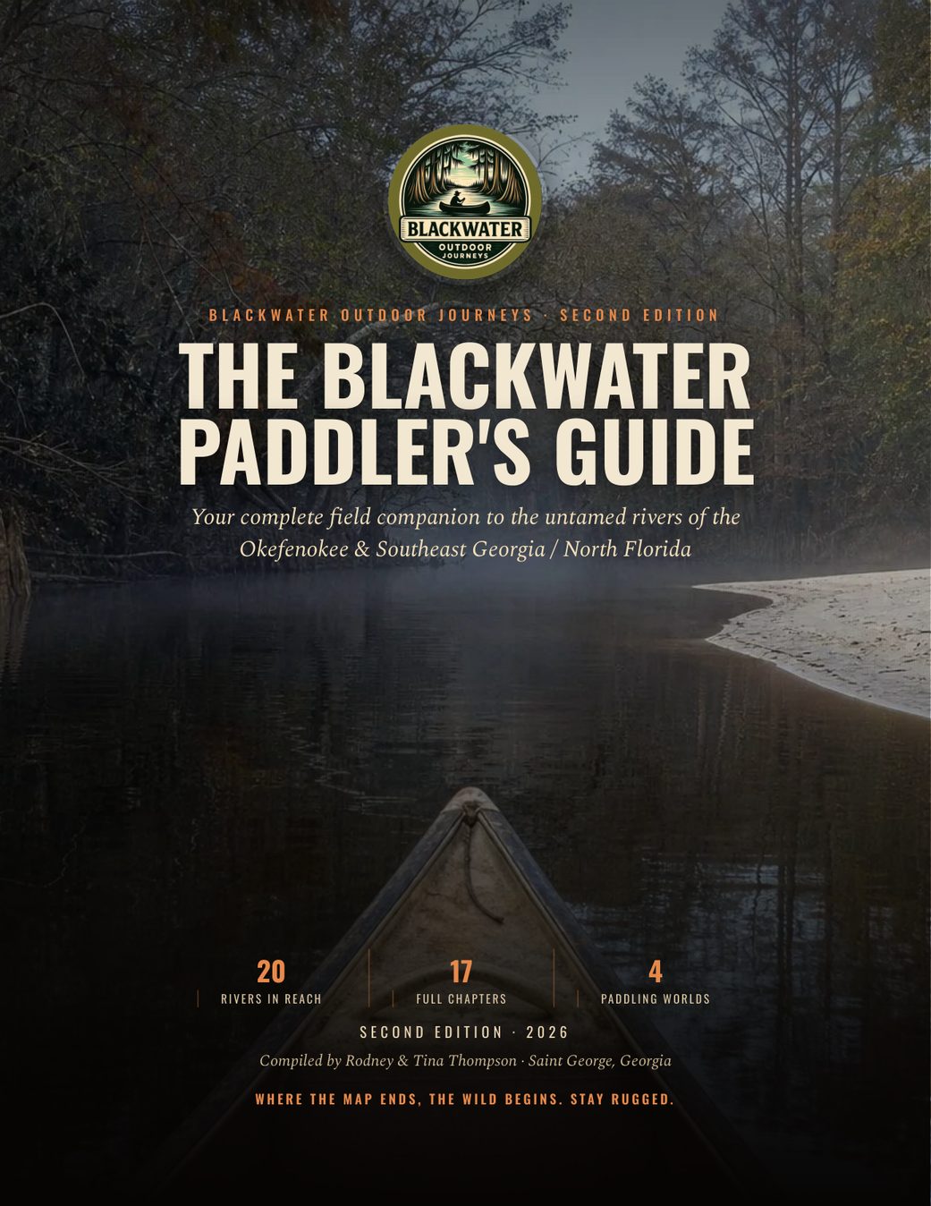
Get the complete river-planning guide for the Okefenokee and Southeast Georgia waters.
Plan the trip: St. Marys 2-Day: St. George to Traders Hill, 22 Miles. Day by day, with food, water, gauge and permit notes.
Rivers Nearby
Okefenokee
Cypress labyrinth, high water, total isolation.
To the GulfSuwannee
White sand banks, black current, gator country.
Wild & tightSatilla
Downed trees, portages, camps you earn.
Georgia's widestAltamaha
Big water, tiny islands, the river nobody films.
Spring-fed & clearWithlacoochee
Blackwater that turns clear as glass over the springs.
Sinks & risesAlapaha
Blackwater that vanishes underground, then rises again.
Frequently asked questions
Where is the St. Marys River?
The St. Marys River is a blackwater river that forms much of the boundary between Georgia and Florida. It begins near the Okefenokee Swamp and winds east until it reaches the Atlantic Ocean near the town of St. Marys, Georgia, directly across from Florida and close to the coast. For most of its length, the St. Marys is a classic lowland blackwater river: slow gradient, a sandy bottom, tannin-dark water, and banks lined with cypress, live oak, and gum trees. Like other rivers in this region, it winds constantly, so the straight-line distance on a map and the actual paddling distance can differ significantly, and it pays to plan by river miles and time on the water rather than straight-line map distance. As the river approaches the coast near St. Marys, it becomes tidal, and current and water level begin to change with the tide instead of moving with a steady downstream push, so the lower reaches call for different planning than the upper river.
When is the best time to paddle the St. Marys?
Spring and fall are the best seasons on the St. Marys. Temperatures are milder, biting insects are lighter than in midsummer, and moderate water levels keep the white sandbars exposed for camping while still giving enough flow to move comfortably. Water level shapes almost everything about a trip on the upper and middle river. In low water, more sandy shoals and deadfall are exposed, meaning more dragging and occasional portages. After heavy rain, the river rises fast, moves quicker, and can submerge the sandbars you were counting on for camp, while pushing debris into strainers. On the tidal lower reaches near the coast, the tide adds another variable on top of the river's flow, so current and water level shift on their own schedule. Check the nearest USGS or state river gauge, along with tide tables for the lower sections, before you launch, and match your plan to what the water is actually doing that week.
Are there alligators in the St. Marys River?
Yes, alligators are part of the ecosystem along the St. Marys, which runs through classic Georgia and Florida gator country. Most encounters are undramatic: a gator sliding off a warm bank into the water as you round a bend. Give them room, never feed or approach them, and keep pets and food secured in camp so nothing draws them toward your site. Avoid swimming at dawn, dusk, and after dark, when alligators are most active. Alligators are not usually the biggest day-to-day hazard on this river. Strainers and deadfall are more of a concern: downed trees can span the channel on tight bends, and current can push a canoe into them, so scout blind corners and be ready to portage. On the tidal lower reaches, a turning tide can work against your paddling as well. Wear your PFD, keep a knife accessible in case you need to free yourself from a strainer, and never let the boat pin you against one.
Is the St. Marys River tidal?
Yes, the lower reaches of the St. Marys are tidal as the river approaches the Atlantic near the town of St. Marys. On these tidal sections, current and water level change with the tide instead of following a steady downstream push, so the way the river moves is different from the water further upstream. This matters for planning: time your paddling, and plan your camps and take-outs, around the tide rather than assuming the river will simply carry you along at a constant pace all day. A turning tide can work against your paddling just as easily as it can help it, so on the lower river it pays to check tide tables for those sections alongside the usual river gauge before you launch. Combined with the tide, wind on the lower river can add to the challenge. Treat the tidal stretch as a different kind of paddling than the upper and middle river, where flow is steadier and the tide is not a factor at all.
Where can I access the St. Marys?
Public access to the St. Marys comes mainly from established landings and bridge crossings along its length. Trader's Hill is one well-known access point, and various bridges up and down the river provide additional places to launch or take out. Because of this, many trips are run point-to-point between two landings, which means you need to arrange a vehicle shuttle ahead of time. Much of the land bordering the river is private, so treat the put-ins and take-outs as the places to get on and off the water, and be mindful of property lines along the stretch in between. Ramp names, conditions, and parking change over time, so do not assume a landing is still exactly as described. Confirm the specific landings you plan to use, their current condition, and your shuttle logistics before you go. Local outfitters and county recreation departments on both the Georgia and Florida sides of the river are good sources for up-to-date access information.